This blog covers my Smoky Mountain hikes; it also includes a link to pictures from one of my cross country ski ventures.

Monday, September 25, 2006

Flat Creek--2.6 n, Spruce Mtn--1.2 n, 1.2 pd, Beach Gap II--2.8 n, Hyatt Ridge--2.6 n, 2.7 pd (13.1 mi total)


I followed Judy Collins into the Food Lion parking lot at 6:50; Ellie Doughty and I moved our gear into Judy’s son’s 8-passenger SUV (Pam Reddoch & John Kennerly were already aboard. Judy drove to SVC and picked up BZ Lane; the six of us then set out for a fairly long trip.

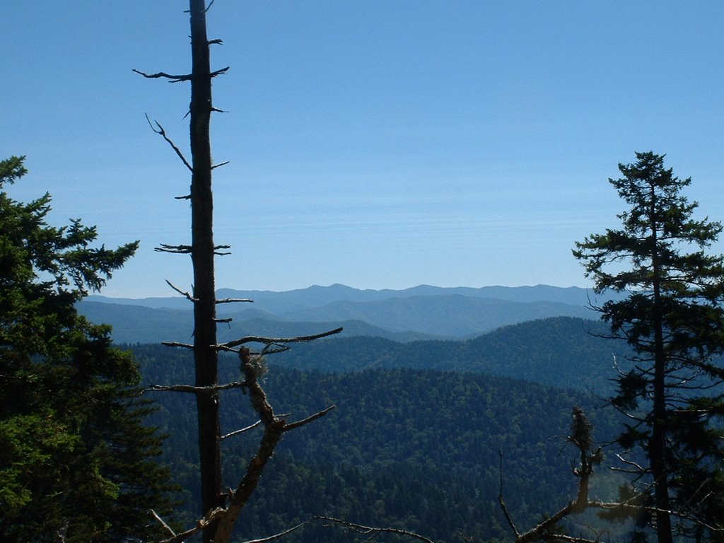
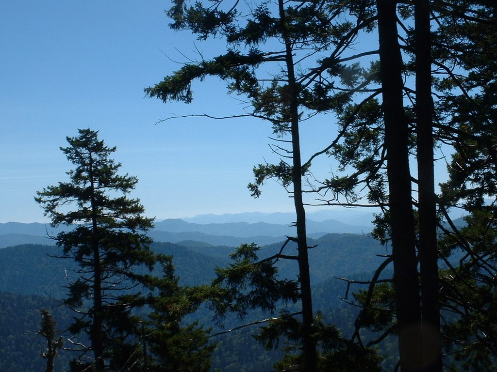
After a few miles on the Blue Ridge Prkwy SE of Cherokee, we took Heintooga Ridge Rd into the park. BZ, John, & I started on Flat Creek from the S, Judy, Pam, & Ellie drove to trail's other end and then started on it from the N. After picking them up we proceeded on Heintooga Rd and then it ended and we were on the one-way N. Balsam Mtn Rd. All together we did Spruce Mtn (1.2 in & 1.2 out). We proceeded on Balsam Mtn Rd. but had to turn around because a fairly large tree had fallen across the road.

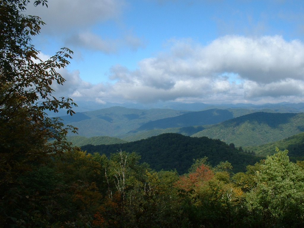
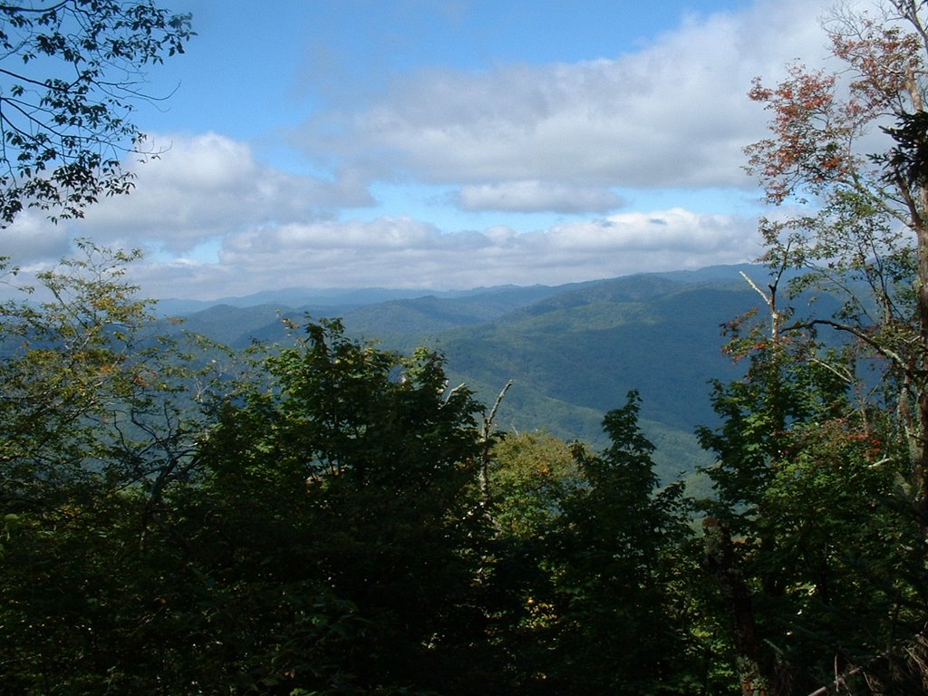
This detour required returning to Cherokee and then setting out on Big Cove Rd; it eventually becomes Straight Fork Rd. Judy, Pam, & Ellie started on Hyatt Ridge and John, BZ & I went NE to do Beech Gap II (latter junctions with Hyatt Ridge) and has ~1,800 ft gain in 2.8 mi. A key swap was done as we came down from Campsite 44; we finished Hyatt Ridge (it’s mostly down) and in ~5 min. Judy et al. picked us up.

We then proceeded to Cherokee, Sugarlands, and at ~8:00 p.m. arrived in Maryville.

Wednesday, September 20, 2006

Bradley Frk—7.8 pd, Hughes Rdg—2.2 pd, AT—5.3 n, Balsom Mtn—5.8 n & 2. pd, Beech Gap I--2.5 n (25.6 mi. total)


Today’s hike at 25.6 mi. was my longest hike on record; 13.8 were “new” trail miles for me. Got up at 4:20, John Kennerly & Judy Collins picked me up at Atlanta Bread at 5:25, we picked up BZ Lane ~6:30 at Sugarlands, and reached the trailhead at Smokemont ~7:30.

We reached the AT by Pecks Corner and had lunch at the latter; Bradley Fork had 2,800 ft of gain and Hughes Ridge had an additional 500 ft of gain. When we reached the AT we were at ~5,500 ft. Not surprisingly the first 10 miles were the most strenuous.

The AT was both up and down until we reached Balsam Mtn Trail (by Tricorner Knob the elevation was ~6,000 ft); most of the pictures were taken in this section. In the first picture you'll see my fellow hikers--BZ, John, & Judy.

By the time we reached Beach Gap I, there was ~500 ft. decline. Beech Gap I declined ~3,100 ft. at our terminus (Balsam Mtn. Rd.). I arrived at Balsam Mtn. Rd (Round Bottom) 11 hrs. 36 min. after starting (not much daylight left). Judy’s husband John was there; I had hustled so that I would have time to ice my knee. John provided me with a cold beer; the latter really hit the spot (& of course helped my knee). When everyone else arrived, we departed and John returned BZ, John K. & me to John’s car at Smokemont. That drive took at least an hour for we had to take a very circuitous route that took us out of the Park, through Cherokee, back into the Park, and up to Smokemont. I arrived home at 10:10 p.m.

Wednesday, September 06, 2006

Low Gap--2.5, PD & 2.5 N, Big Creek (PD), Camel Gap--5.1 N, AT--2.4 PD, Low Gap--2.5 PD (15 mi total)


Met at Cracker Barrel at 7:50; in heavy a.m. traffic it takes ~30 min. to get there. Amy, Janetta, & Joel rode with me; Bill Broome took Tom Wainner, Dale Teague, & Allen. At the trailhead in Cosby, Bob Bolinger and BZ Lane joined us.

The first section of Low Gap has a bit of climb; after it (see 1st pic) most went to Mt. Cammerer as planned on and in/out, while Joel and I continued on the next section of Low Gap and on to Big Creek trail (see 2nd pic), Camel Gap Trail, the AT (see 3rd pic), and then a repeat of the 1st 2.5 mi. section of Low Gap that we had done in the a.m. Shortly into this last leg we caught up with Richard Ryburn; he had started earlier for this was only his second hike with our Wednesday group. Our total hike time was ~7 hrs. 15 min.