Laurel Falls (4, .1 + .1 to fire tower), Cove Mtn (8.4)
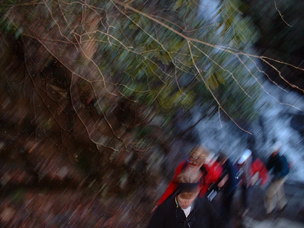

The Laurel Falls-Cove Mountain hike (starting at Laurel Falls and ending at Sugarlands Visitor Center) was scheduled at my suggestion. I rode with Ellie and four others from Maryville; at SVC two cars were left and all other cars proceeded the 3.5 miles to Laurel Falls. This was the largest group that I have been affiliated in doing one hike--37 people. The hike to Laurel Falls was somewhat unique in that prior to this past June it was the only hike (this excludes cc-skiing) that I had done in the GSMNP; I am not sure if my two sons and wife remember, but we hiked to Laurel Falls (1.3 miles) in 69 or 70. I took a picture of the falls (1st pic--not good) and shortly after had to remove my sweater; I then put it in high gear and passed all but the 6-7 who led led the pack (climb was ~2700 feet). When we reached Cove Mountain Trail (4 miles), BZ told me that I needed to go to the 0.1 mile to the lookout tower; he and Manfred went with me and then we came back and ate lunch.
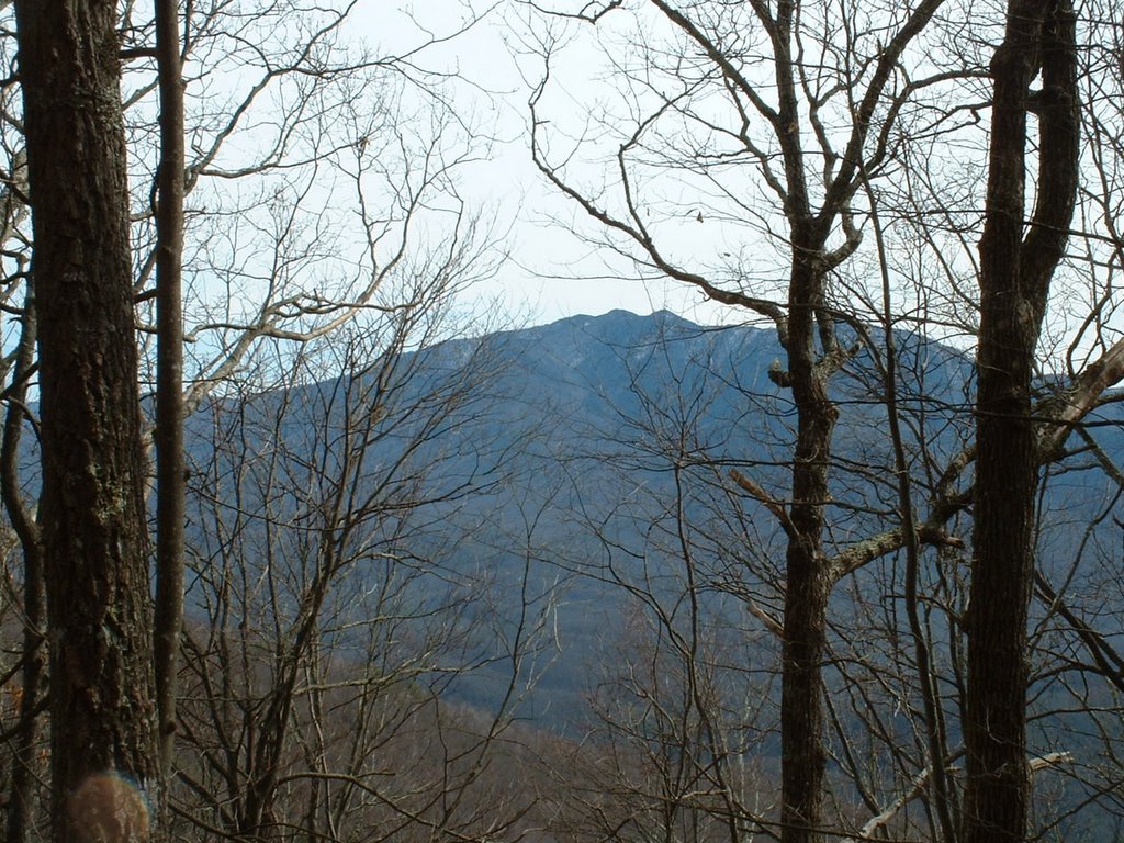
Cove Mountain trail would be a great cc-ski trail if there were snow. Initially I went alone but I believe the only ones ahead of me were those who had to move cars from the Laurel Falls trail head back to SVC. I stopped and waited a few minutes and Frank Jaskolka joined me (I work with him and his wife Peggy at SVC on Tuesday). Frank is extremely savvy re the Park; he pointed out specific mountain peaks that we could see (e.g., Mount LeConte--my 1/18 hike, 2nd pic). He also identified a place in the Gatlinburg area that I could park if there were enough snow on the Cove Mountain Trail to cc-ski. The third picture is the valley in which the US 441 from SVC to Newfound Gap lies. (Just looked and my pics are in reverse author; hope that my youngest son know a short cut in fixing it.)
At SVC at the conclusion of the hike Debbie and Liz picked from my map next week's hike; these two are so helpful and accomodating me in meeting my goal.
posted by Wendell Liemohn at 5:17 PM
![]()
![]()


0 Comments:
Post a Comment
<< Home