Post 900 Hike #120: Crib Grap--1.6, Turkeypen Ridge--3.4, Schoolhouse Gap--1.0, Scott Mtn--3.6, Indian Grave Gap--1.8, Rich Mtn--2.3
This is a hike that John Hutsenpiller needs for membership in The 900 Miler Association; this marks the 3rd time that I have done these trails and the first time that I have done them after reaching age 75 (i.e., it qualifies as an entry on my Geezer Map). After my hike in the Cataloochee area last week that finished with Baxter Creek (6.1 mi., 4100' of descent), I needed an easy hike (i.e., one with minimal descent) for my wounded feet. For it I chose to wear my old LL Bean Cresta boots, which have >2000 miles on them, rather than my relatively new Asloo ones.
John picked me up at Lakeside Market at 0645; we arrived at Brown's Creek Food Lion quite a bit prior to our 0730 meet-up time. Otis's group of ~15 for a relatively short hike were also there; Dick Ledyard and Leslie Toney planned to go with us. We did a key swap and John drove to Anthony Creek trailhead in the Cades Cove picnic area, and after a few tenths of a mile on Anthony Creek trail, we started on Crib Gap at 0835. Meanwhile Dick and Leslie entered the GSMNP via Rich Mtn Rd. and started on Rich Mtn trail.
On Turkey Pen Ridge we met those doing Otis's hike (now in 3-groups of 2-5); the last group encountered rain. On Schoolhouse Gap the rain really hit us and a fellow from WV whom we passed but who then kept pace with us. To our surprise we met three others from our Wed. group; stopping to talk to them (as well as to those in the 3-sections of Otis's group), and our subsequent encounter with our key swappers Leslie and Dick, made our trail times somewhat meaningless. (Leslie and Dick had seen a bear; it did not stay around to greet us.)
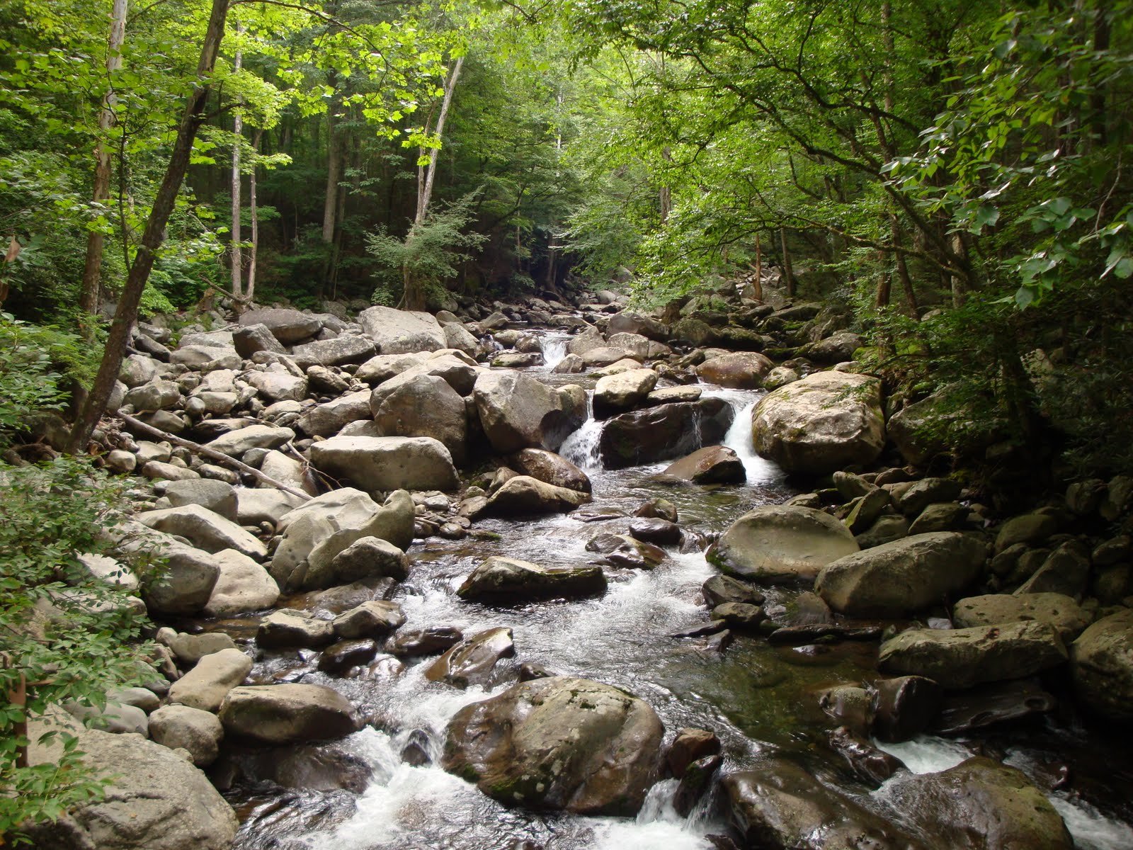
Because of the cloudiness and the rain, my picture taking was nil. However, on the ridge one at times could momentarily see Cades Cove on the L and Wears Valley on the R. This picture is somewhat representative of the latter trails; that is John with his red rain parka attached to his pack.

Believe we reached Rich Mtn rd and John's vehicle ~1500. I did not think that this hike was apt to damage my toes and it did not; now I am not sure if it was the ease of the hike or the wearing of my old boots that deserves the credit.
Omron trivia:
14.8 mi.
31,415 steps
27,848 aerobic
1157 kcal
posted by Wendell Liemohn at 11:11 PM
|
0 comments
![]()
![]()