This blog covers my Smoky Mountain hikes; it also includes a link to pictures from one of my cross country ski ventures.

Wednesday, September 28, 2005

AT section, Welch Ridge, Cold Spring Gap, Hazel Creek (18.3 miles)


Hike 9-28

This was a long hike so we met at Food Lion at 5:30. Those meeting were Mike Miller, Lowell Reid, Amy, Frank, and me; we picked up BZ Lane at Sugarlands and proceeded to Clingmans Dome. We got on the AT at 7:15; after ~0.5 on the path to the Dome, we went on the AT in a westerly direction for 1.9. We then went south on Welch Ridge Trail for 5.9 (just prior to the end of Welch Ridge we went 0.4 up and back to High Rocks for lunch). Shortly after lunch we got to Cold Spring Gap; it was then 3.5 on Cold Spring Gap Trail (some say it is the hardest one in the Park—much is on a dry creek bed and all your feet touch is rocks). We then hit the lower portion of Hazel Creek Trail for 6.6; it included our only major creek crossing and I baptized my water shoes. Then this trail follows an old road and is boring as it can be. BZ and Amy were in the rear; when I looked back and did not see them I thought it was to soak their feet; the rest of us proceeded on and soon reached Lakeshore Trail for our final mile.

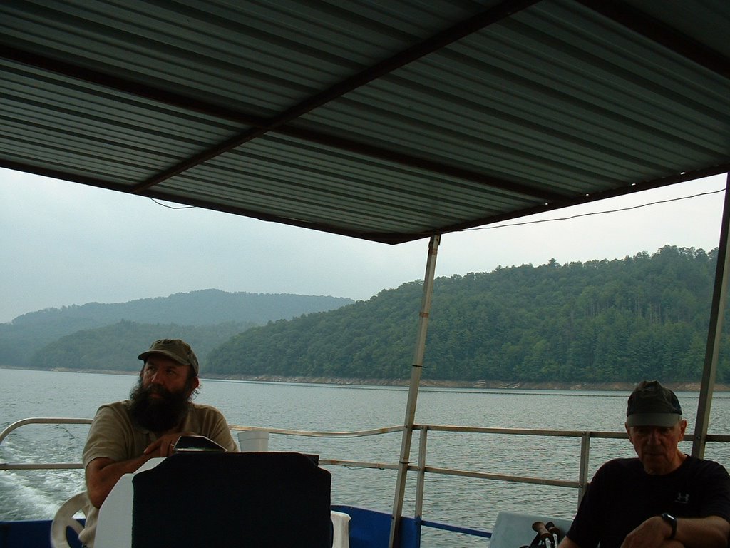
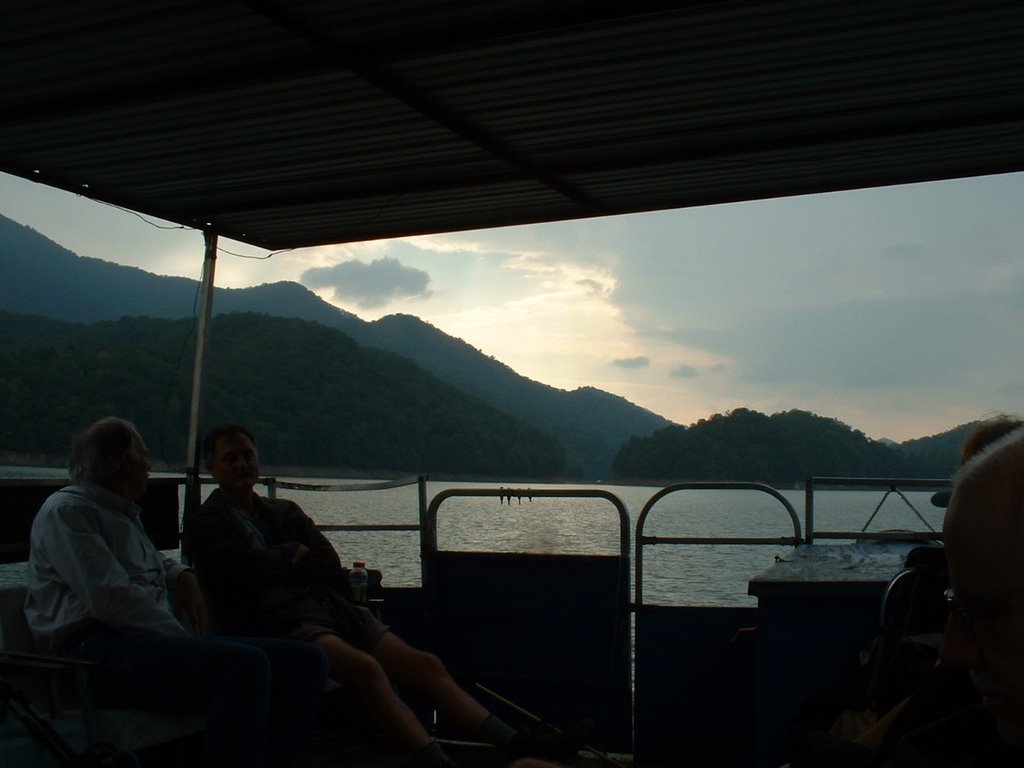
We arrived at the beach and met the 6 others who had done the shorter hike. The pontoon arrived and we loaded about 5:15; then around the curve came BZ and Amy. They had not stopped to soak their feet; they saw a bear and watched it for a few minutes. The bear was similarly interested in them.

Two cars were waiting for us at the boat dock driven by Helen Schaich and Gary Nieberg (both had completed the 800—Gary just completed all trails this summer for I had hiked with him several times).

Wednesday, September 14, 2005

AT section, Welch Ridge, Jonas Creek, Forney Creek, Lakeshore (16.8 miles)


Hike 9-14

Three to four groups made hikes of varying distances beginning at Clingmans Dome and ending at the Road to Nowhere; when everyone arrived at terminus, I realized that there were but 10 individuals to share the bus expense back to the Dome.

Mike Miller and Barbara got a very early start; I met BZ Lane at Sugarlands at 7:30; he and I left the Dome at 8:15. We started going West on the AT ~4 mi., then on Welch Ridge for 2.4, Jonas Creek for 4.1, Forney Creek for 4.0, and Lakeshore for ~2. We had a number of stream crossings; BZ and I just rock hopped (I have yet to use my new water shoes in stream crossings). In one of the latter stream crossings BZ (who was leading) evidently stirred up some yellow jackets and they really got me; almost symmetrical on back of hand between 1st and 2nd digits—also hit were each calf but not as symmetrical. We ran and then I took Benadryl; at the next stream crossing I took my shoes off and got my calves in the water; I had to hyperflex to get the hands in so they did not get as much. My hands swelled quite a bit.

Wednesday, September 07, 2005

Brushy Mtn (in/out 5.9/5/9 mi)

Brushy Mountain: When Mike Miller and I neared the parking area close to the trailhead ~9:00 a.m., we thought that it was just the two of us making the hike. We were pleasantly surprised to find that Bob Hutchins, Bill Woodrick, John Kennerly, and B.Z. Lane were joining us.

It was a beautiful day and the hike was somewhat uneventful. We ate our lunch at Brushy Mountain; the view was fantastic particularly towards the Park; although we could see Pigeon Forge and Gatlinburg, they were not particularly unique nor was the construction that we could see on several of the mountains. The Park, however, was most pristine and beautiful; unfortunately I did not have my camera. (Brushy Mountain can also be reached from the Roaring Forks Motor Trail and then hiking past Grotto Falls on the Trilium Gap trail (only ~3.2 mi. that way).

Friday, September 02, 2005

0.5, Wolf Ridge 6.3, Gregory Bald 1.2, Long Hungry Ridge 4.6, Twentymile 2.6

The Aug. 3l hike was changed to Sep. 2 because of storm damage in the Park. The descriptor received by the coordinator: WOLF RIDGE / LONG HUNGRY RIDGE --From the Twenty Mile Ranger Station, Twenty Mile Trail to Wolf Ridge Trail, across Gregory's Bald and down Long Hungry Ridge and Twenty Mile trails to the starting point. This is a strenuous hike.

I picked up BZ Lane at the start of the Foothills Parkway ~8:00; we then picked up Ellie Doughty at Look Rock. The Foothills Parkway is truly a lovely road; however, the next link we took is the section of US 129 called “The Dragon”. (The latter is very popular with motorcyclists; hardly a week goes by without a biker being killed or severely injured.)

We left the Twentymile Ranger Station at ~9:00 (Mike Miller and Barbara left fairly close to 7:00.) After 0.5 mi. we hit Wolf Ridge Trail (6.3 mi) and then Gregory Bald Trail (1.2 mi). From trail head to this bald is ~3,200 ft increase in elevation; it was nice to reach the top. Gregory Bald is almost devoid of trees but very heavy with “burly” weeds; you could hardly see the trail in one section. Mike and Barbara were waiting and we ate lunch there.

The next section was the Long Hungary Ridge Trail (4.6 mi); for the last section of the hike (Twenty Mile Trail—2.6 mi) Ellie and I cruised. We got to my car at 4:30; BZ arrived ~15 min. later; he’s a strong hiker but wanted to ensure that the other two had no problems (the others arrived ~10 min. later).

Back to the Dragon; only one pair of motorcyclists passed me crossing the yellow line; at about every scenic curve there were 2-6 bikers taking a break. After dropping off Ellie and BZ, I called Meredith and met her for dinner at Up the Creek.