Middle Prong (~10 mi. but only 2.3 mi. towards the 900)

The hike scheduled for today was designed by Liz to meet specific needs that I had for completing the 900 miles; it included Bote Mt & West Prong, Lumber
Ridge, Meigs Mt, Curry Mt (13.2 miles). Snow precluded doing Bote Mt & West Prong; however, confusion on my part relative to meet-up site precluded doing Lumbar Ridge, Meigs & Curry Mt.
Bob Mysinger drove & Bob (last name??--Boy Scout affiliation) and I were passengers; because we could not find our compatriots (I should have asked where Kinzel Springs was and I forgot where the Back Porch was), we drove back and forth and eventually to Tremont in hopes of catching them there--no luck. I decided that we should not do the scheduled trails because we had not made a key swap and would thus end 9.3 miles from Bob's car. Instead we walked down a closed road in Tremont (~2.5 mi) and then I put it in high gear to do the 2.3 mi. to Panther Creek Trail (P-C sign depicted); it was not particularly easy because of ~10 inches of snow. (On way there I passed Liz, Ann, et al. just shy of Panther Creek; Liz had just expressed concern to her group of my possible whereabouts.)
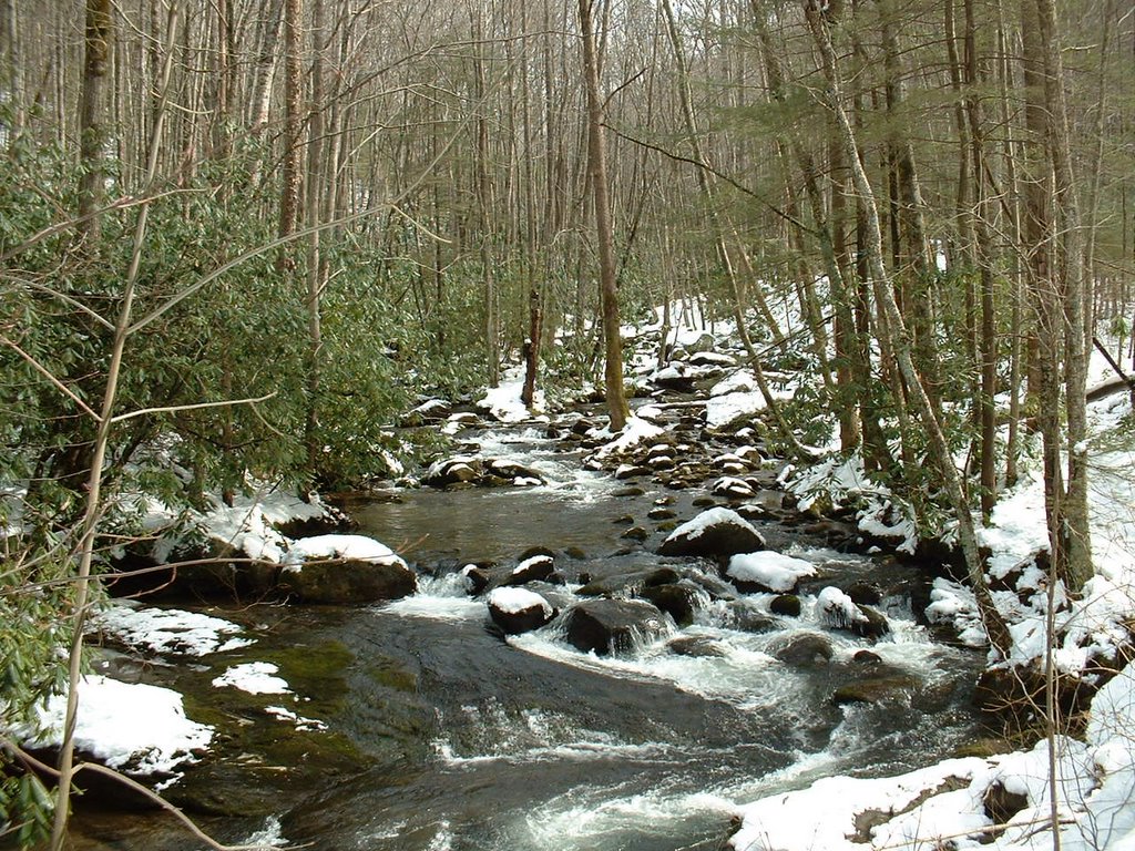
I then retraced my steps and met Liz et al. again and took pictures for them. In ~0.5 mi. I met Bob & Bob; as we ate lunch Liz et al. passed us. Because the Bobs were not concerned about finishing Middle Prong trail to Panther Creek, we then walked back to Tremont (Middle Prong Creek pictured). Some of the other hikers came in off of the trail when we were at Bob's car with one question: Where were you, Wendell?
posted by Wendell Liemohn at 8:44 PM
![]()
![]()


0 Comments:
Post a Comment
<< Home